0
No products
To be determined
Shipping
$0.00
Total
This item added to your cart. Calculate any delivery cost at next step.
Quantity
Total
There are 0 items in your cart. There is 1 item in your cart.
Total products
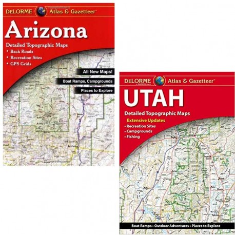
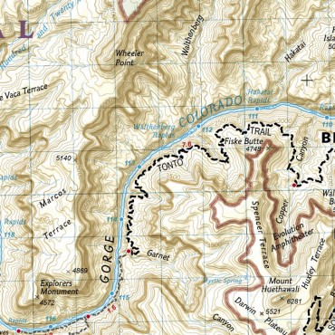
A GPS can be convenient, but very misleading if your travels are outside main highways and streets. Delorme atlases go way deeper in detail than your gps, and generally include forest roads, more detailed topography, campgrounds, recreation sites, fishing info and a lot of hiking trails. You wouldn't want to carry an atlas as a hiking map, but they are great for researching an area to explore and then get a more detailed trail map for that specific destination.
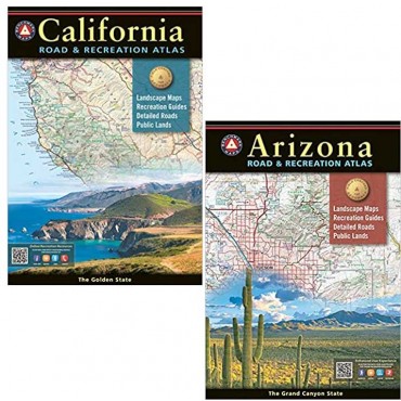
We carry the Delorme Atlas and Gazetteer for several Southwest states along with detailed trail maps for the local and regional areas. We also carry the Benchmark Road and Recreation Atlas - similar content but there are pros and cons to both so it's hard to say which is "better" - frequent campers, explorers and RVers often carry both.
We usually have in stock these detailed atlases for:
Arizona
Utah
Nevada
California
Colorado


