No products
This item added to your cart. Calculate any delivery cost at next step.
There are 0 items in your cart. There is 1 item in your cart.
Rental
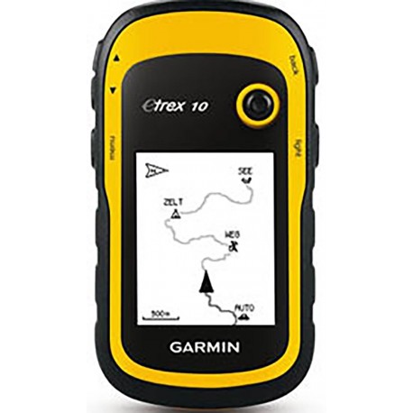
Rent a Garmin eTrex 10 handheld GPS - Perfect for hiking, Geocaching and Outdoor activity
You can stay a map-and-compass purist if you want, but looking down at a GPS unit, and within a few seconds knowing exactly where you are, how far it is to the next camp or landmark, how much elevation change you have left, and how much longer it will take is pretty nifty to me. The eTrex we rent is also the easiest to use and is great for group training, company and youth events and geocaching.
We test our gps units with batteries before we ship to make sure all is working ok, but WE DO NOT INCLUDE BATTERIES WITH ANY OF OUR GPS UNITS. Most of the units use AA batteries - you can get the cheapest or most expensive as you want and keep them afterwards for other uses. Expect a set to last 12-18 hours of constant use.
This is a high-quality, well-reviewed product from one of the world's top manufacturers of GPS units - Garmin. The model we are currently renting under this item description is the ETrex10. There are no built-in maps with this gps unit and you cannot add third-party map data bases to it. Check out more information and screen shots for this rented gps.
So what can you do with a GPS on your next trip? As with a lot of gadgets, the more you know about it, the more things you can find for it to do. But some of the basics: 1) let it track your route going one direction away from your car, then let the GPS guide you back out to where you started; 2) Before your hike, select some "waypoints" along your trail, such as intended camp sites, trail intersections etc, and using print or online maps with degree/minute/second guides, input the waypoints into the GPS unit to use as guideposts along the way; 3) you'll always know how far you've gone and how far you've got to go so you can pace yourself - avoid that creepy nighttime hiking making up for lost time; 4) you can see what elevation you're at to compare to the elevation of where you're headed - thus knowing whether the worst is over, or yet to come; and 5) if you want to wander off trail and not get lost - a GPS unit is the way to go.
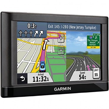
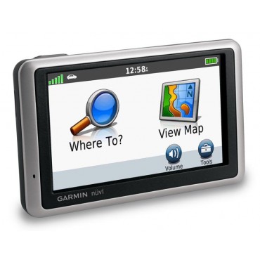
Because of its compact size and lack of base maps, we don't recommend renting this unit for auto travel. Instead, see our full selection of gps models including auto-travel GPS units.
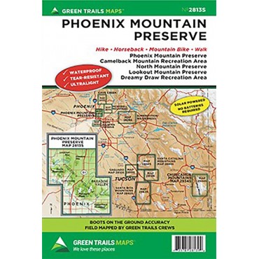
There's more of course - as much as you can think to use it for - this GPS unit is one of the best out there for the money. What it won't do is replace common sense, print maps and a compass; it won't do you a bit of good if you run the batteries down and have no backups; it can lose contact with the satellites in heavily canopied tree cover; and like any electronic device or golf club, sometimes you'll feel like throwing it away. But that would be a user problem, not the GPS unit's. It is always a good idea to take a trail map to have handy of whatever trail you may be hiking. If you are in the Phoenix/Tempe area we also have a Phoenix Area Trail Map section. We don't ship any cables with this unit unless requested AND we have one available. If you want to interface with a computer, any standard USB/mini USB data cable should work, but you have to download some freeware depending on what you want to do.
This question comes up from time to time, so please note none of the gps units we rent are so-called "survey grade" (cost thousands of dollars), which is the kind you'd use for establishing a legal property border line and other uses where accuracy down to inches is critical. These GPS units that we rent are potentially accurate to within a few feet, so they could help you find a property marker, but you don't want to build something based on results from these GPS units.
We rent these units very inexpensively, so rental is definitely the way to go if you just want to check one out to see how you like it. Special pricing is available for group rentals for events. Instruction manuals and user guides for the model you receive are available online.
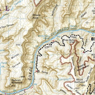
To learn more about navigating in the backcountry see our books GPS Made Easy and Wilderness Navigation.
We also have a nice library of how-to articles for using handheld GPS units, including:
Our GPS Overview page
How to Mark a Waypoint with a GPS
How to Manually Enter a Waypoint Coordinate into a GPS
How to Navigate to a Waypoint with a GPS
How and Why to Change Map Orientation on a GPS
How to Change Measurement Units and Map Format Setting on a GPS
How to Record a Track of Waypoints on a GPS
How to Use a GPS to Find Your Location on a Map
What does WAAS Mean for a GPS
Using a GPS for Geocaching
For some third-party user reviews of this and other gear we rent and sell, visit our backpacking and camping user gear review page.
For more information see video below:
| Weight | 0.3 |
| Navigation Needs | Backcountry/Geocaching |


